
Humminbird
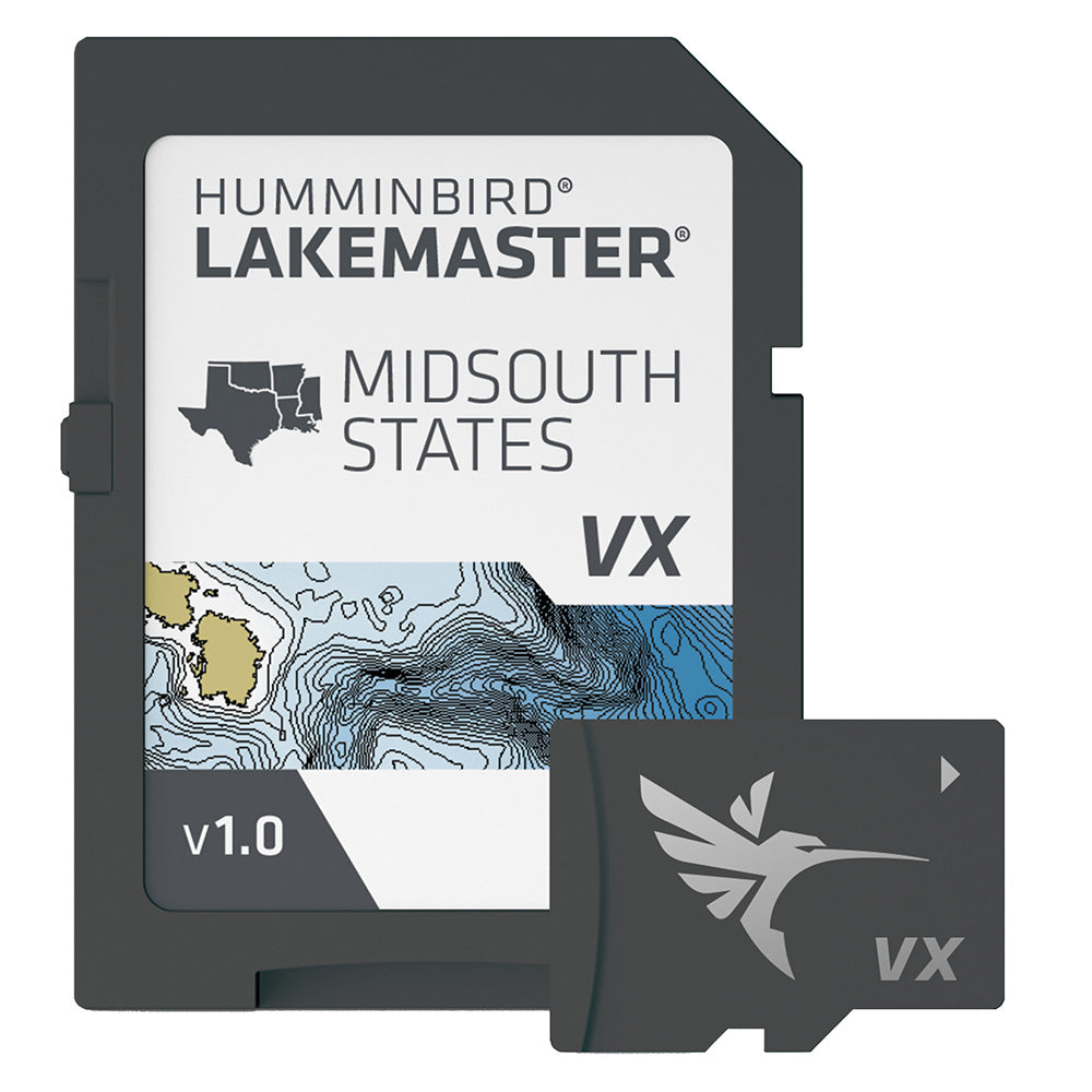
Humminbird LakeMaster® VX - Mid-South States
Humminbird LakeMaster® VX - Mid-South States
SKU:OM-HUMMINBIRD-LAKEMASTERVXMI-6010051
Out of stock
Couldn't load pickup availability

Overview
LakeMaster® VX - Mid-South States
An upgraded mapping solution in Humminbird LakeMaster VX to help anglers understand what is under the water’s surface better than ever before.
For decades, Humminbird LakeMaster® has led the charge with the most accurate and advanced mapping available for anglers. Now, LakeMaster is taking it to an entirely new level with the introduction of Humminbird LakeMaster maps with VX Technology.
The LakeMaster name has been praised among anglers for having the highest quality mapping for fishing, often collected by a team of GIS analyst cartographers. Now with VX Technology, LakeMaster maps are packed with more information than ever before, including five new customizable color palettes, exceptional map performance, and a powerful combination of features.
The LakeMaster lineup maintains the same regions as the current lineup, but now includes SmartStrike technology as a feature, allowing anglers to enter search parameters like season, time of day, temperature, and targeted fish species to create a custom chart that highlights areas of the map where fish are most likely to be biting. LakeMaster also includes customizable Chart Presets, Depth Highlight, Shallow Water Highlight, Water Level Offset, and One-Boat Network capability.
LakeMaster has been the go-to road map for anglers, and compared to the competition, what you see on the map is actually on the lake bottom. With LakeMaster with VX Technology, Humminbird LakeMaster solidifies its place as the most accurate and detailed fishing map on the market.
Features:
- VX Technology – Provides exceptional map performance and customizable color palettes.
- SmartStrike – Highlights areas of the lake map where fish are most likely biting. (*Select HD Lakes Only)
- Chart Presets – Simple and easy to change between your own custom view settings.
- Depth Highlight – Highlight a selected depth range so you can target productive water and stay where the fish are.
- Shallow Water Highlight – Easy-to-see red shading highlights shallow water areas on an adjustable range from 0 to 60 feet.
- Water Level Offset – Synchronize the depth contours and shorelines of your LakeMaster charts with the actual water levels of lakes, reservoirs and rivers.
- One-Boat Network – Connects your Humminbird LakeMaster chart and Minn Kota trolling motor, allowing your boat to automatically follow a depth contour line.
- Compatible with Humminbird HELIX® G3/G3N and newer, all SOLIX® units and all APEX™ units.
- 1-Year Cartography Warranty. Opened packages are not eligible for return.
Specifications
| Brand | Humminbird |
|---|---|
| Manufacturer part # | 601005-1 |
| UPC | 082324056550 |
| Boxed dimensions | 7 x 5 x 1 in |
| Shipping weight | 0.15 lb |
| Country of origin | UNITED STATES |
Manuals & documents
Shipping & returns
Fast, tracked shipping
In-stock orders ship quickly with tracking. Oversized and freight items may ship separately and can take a little longer.
30-day returns
Request a return within 30 days of delivery. Authorized returns carry no restocking fee. Return shipping is paid by the buyer; items must be new and in original packaging. See our refund policy.
Authorized dealer
OutdoorsMarine is an authorized Humminbird dealer. Every product is genuine and backed by the full manufacturer warranty.
Frequently bought together
Similar items you may like
Popular in Cartography
Top deals right now
Authorized dealer
Genuine products, full warranty.
Fast, tracked shipping
On in-stock marine gear.
Expert support
Talk to people who know the gear.
Secure checkout
Protected payments via Shopify.