
C-MAP
C-MAP 4D Lakes NA-D072 North Central
C-MAP 4D Lakes NA-D072 North Central
SKU:C-MAP-NA-D072-70007
UPC: 0Couldn't load pickup availability
4D Lakes NA-D072 North Central
C-MAP charts have long been held in high regard by boaters because they combine aesthetically pleasing vector electronic charts with reliable sources. When buying C-MAP boaters can be assured that the charts they are getting are of the highest standard.
C-Map 4D will provide boaters with charts packed additional features such as raster chart views or Satellite images* to maximize situational awareness.
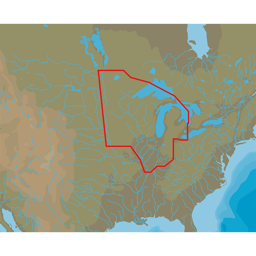
Coverage Area:
Lakes and major rivers of North Central region of USA including states of: Minnesota, Wisconsin, Michigan, Iowa, Illinois, Indiana. Includes coverage of Lake Michigan, Lake St. Clair, portions of other Great Lakes.
Share
Collapsible content
DETAILS
Product: C-MAP 4D Lakes NA-D072 North Central
Brand: C-MAP
UPC:
MPN:
CATEGORY
SOFTWARE > COMPUTER SOFTWARE > GPS MAP DATA & SOFTWARE
SHIPPING
Free Shipping
SUBSCRIBE TO OUR EMAILS
Be the first to know about new collections and exclusive offers.