

C-MAP
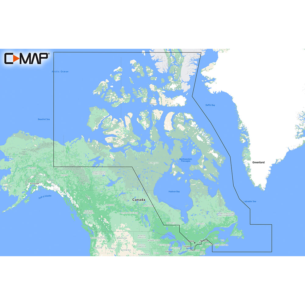
C-MAP M-NA-Y209-MS Canada North & East REVEAL™ Coastal Chart
C-MAP M-NA-Y209-MS Canada North & East REVEAL™ Coastal Chart
SKU:OM-CMAP-MNAY209-MNAY209MS
Low stock: 3 left
Couldn't load pickup availability

Overview
The C-MAP M-NA-Y209-MS REVEAL Coastal Chart covers Canada North and East for boaters who want detailed coastal charting for cruising or fishing. It combines C-MAP vector chart features with enhanced visual layers, bathymetry, routing tools, and 12 months of online updates.
- Coverage: Canada North and East
- Chart series: C-MAP REVEAL Coastal
- Includes: shaded relief, Reveal Seafloor, aerial photography, satellite overlay, and dynamic raster chart presentation
- Vector chart tools: full-featured vector charts, custom depth shading, tides and currents, and Easy Routing
- Bathymetry: C-MAP High Resolution Bathymetry with integrated Genesis data
- Raster charts: traditional paper-chart look and feel with access to chart objects
- Vegetation and bottom composition: layers built from C-MAP Genesis and Biobase user sonar trips
- Updates: purchase includes 12 months of online updates
Specifications
| Brand | C-MAP |
|---|---|
| Manufacturer part # | M-NA-Y209-MS |
| Boxed dimensions | 6 x 4 x 1 in |
| Shipping weight | 0.15 lb |
| Country of origin | UNITED STATES |
Manuals & documents
Shipping & returns
Fast, tracked shipping
In-stock orders ship quickly with tracking. Oversized and freight items may ship separately and can take a little longer.
Non-returnable item
This item cannot be returned once ordered, except where it arrives defective, damaged, or shipped in error. Please check fitment and specifications carefully before ordering. See our refund policy.
Authorized dealer
OutdoorsMarine is an authorized C-MAP dealer. Every product is genuine and backed by the full manufacturer warranty.
Frequently bought together
Similar items you may like
Popular in C-Map Reveal
Top deals right now
Authorized dealer
Genuine products, full warranty.
Fast, tracked shipping
On in-stock marine gear.
Expert support
Talk to people who know the gear.
Secure checkout
Protected payments via Shopify.