
C-MAP
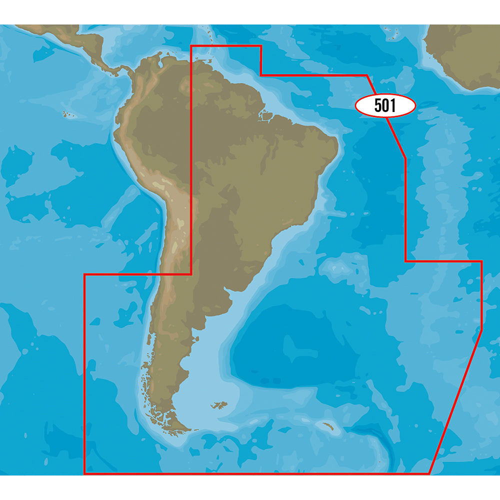
C-MAP 4D SA-D501 Gulf of Paria to Cape Horn
C-MAP 4D SA-D501 Gulf of Paria to Cape Horn
SKU:80867
Low stock: 2 left
Couldn't load pickup availability
4D SA-D501 Gulf of Paria to Cape Horn
With C-MAP’s detailed cartography and extensive database of local information at your fingertips you’ll never be lost, even in unfamiliar waters.
Dominate the water with C-MAP’s full vector charts, harbor and approach details, tide and current tools, and more.
Full-Feature Vector Charts give you tools like tidal streams, detailed roads, and accurate marina plans, giving you the utmost situational awareness in your covered area.
High-Definition Aerial Photography will ensure you get the best view of where you are and where you’re going even in sub-optimal conditions.
Expandability is built-in to these cards via Value Added Data Segments (sold separately) so that when you need that extra local detail, adding it to the charts you already use is hassle-free.
One Free Year of daily updates means you will have the most accurate, up-to-date information available, keeping you and your crew safe out on the water.
Coverage:
- Gulf of Paria to Cape Horn
Features:
- Full-Feature Vector Charts: Toggle different views on and off to see animated tidal streams, currents and flows on your map. When planning your trip, check out the tidal heights so you won’t be caught off-guard by sudden changes. Dynamic navigational aids give you the tools you need to plan and master your route.
- Perspective: Depths and land elevation, photos, diagrams and bird's eye view perspective options let you choose your view.
- More than Maps: View coastal roads and Points of Interest such as restaurants, museums, local services and cultural highlights.
- C-Marina Port Database: Get detailed marina port plans and harbor charts so docking is a breeze even on your first visit!
- Guardian Alarm: Keep safety in mind, but rest easy with Guardian Alarm settings that will let you know about rocks, obstructions, shallow depths and other navigation hazards.
- One Year of Updates: Crowd sourced and directly from C-MAP trusted sources, these daily updates will give you the confidence to navigate unfamiliar waters. The first year’s on us!
- Value Added Data: Add high-resolution bathymetry charts and details about Marine Protected Area so your have all the information you need at your fingertips.
Specifications
Specifications
Manufacturer part number, dimensions and technical specs are listed in the product description above. Contact us if you need a spec sheet for this item.
Shipping & Returns
Shipping & Returns
Fast, tracked shipping on in-stock items. Oversized and freight items may ship separately. See our return policy for details on eligible returns.
Warranty & Authorized Dealer
Warranty & Authorized Dealer
OutdoorsMarine is an authorized dealer. Every product is genuine and backed by the full manufacturer warranty.
Share
Authorized dealer
Genuine products, full warranty.
Fast, tracked shipping
On in-stock marine gear.
Expert support
Talk to people who know the gear.
Secure checkout
Protected payments via Shopify.